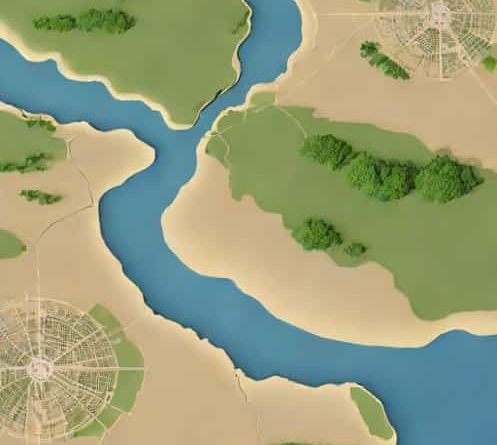
Historical Imagery Google Earth
Google Earth has revolutionized the way we explore our planet, offering detailed satellite imagery and interactive features that allow users to examine geographical locations from various perspectives. One of its most intriguing capabilities is the ability to view historical imagery, enabling users to witness how specific areas have evolved over time. This feature is invaluable for a range of applications, from environmental studies and urban planning to personal curiosity about the changes in one’s neighborhood. By delving into historical imagery, users can gain insights into the dynamic nature of our world and the factors that drive its transformation.
Understanding Historical Imagery in Google Earth
Historical imagery in Google Earth allows users to access satellite and aerial photographs captured at different points in time. This feature provides a timeline of images, enabling users to observe changes in landscapes, infrastructure, and urban development. Whether you’re interested in tracking deforestation, urban sprawl, or the effects of natural disasters, historical imagery offers a visual record of these changes.
Accessing Historical Imagery
To view historical imagery in Google Earth, follow these steps
- Open Google EarthLaunch the Google Earth application on your desktop or access the web version through your browser.
- Navigate to Your Area of InterestUse the search function to find the location you wish to explore.
- Activate Historical ImageryClick on the clock icon in the toolbar to open the historical imagery feature.
- Use the Time SliderA timeline will appear, displaying available imagery dates. Drag the slider to select the desired time period.
- View Changes Over TimeAs you adjust the timeline, the map will update to show the selected historical imagery, allowing you to compare past and present views.
These steps enable users to explore how specific locations have changed over time, providing valuable insights into environmental and urban developments.
Applications of Historical Imagery
Historical imagery serves various purposes across different fields
- Environmental MonitoringScientists and researchers use historical imagery to study changes in ecosystems, such as deforestation, glacial retreat, and coastal erosion.
- Urban PlanningUrban planners analyze historical imagery to understand the growth and development of cities, aiding in future planning and infrastructure development.
- Disaster ResponseAfter natural disasters, historical imagery helps assess the extent of damage and plan for recovery efforts.
- Education and ResearchEducators and students utilize historical imagery to study geographical and historical changes, enhancing learning experiences.
These applications demonstrate the versatility of historical imagery in providing valuable data for various sectors.
Limitations and Considerations
While historical imagery is a powerful tool, there are certain limitations to consider
- AvailabilityNot all areas have extensive historical imagery coverage, especially in remote or less-developed regions.
- ResolutionOlder images may have lower resolution, making detailed analysis challenging.
- ConsistencyVariations in image quality and perspective can occur due to different satellite or aerial platforms used over time.
Understanding these limitations is crucial for accurately interpreting historical imagery data.
Future Developments
Google continues to enhance the historical imagery feature in Google Earth. Future developments may include
- Increased CoverageExpanding the availability of historical imagery to more regions worldwide.
- Higher Resolution ImagesProviding higher-quality images for more detailed analysis.
- Advanced Analytical ToolsIntegrating tools that allow users to perform more sophisticated analyses of historical changes.
These advancements will further solidify Google Earth’s role as a vital resource for exploring and understanding our planet’s dynamic changes.
Historical imagery in Google Earth offers a unique lens through which we can observe and analyze the transformations of our environment. By providing access to a visual timeline of changes, it empowers users to gain insights into the factors driving these transformations. Whether for professional research, educational purposes, or personal curiosity, historical imagery enriches our understanding of the world and underscores the importance of monitoring and preserving our planet’s diverse landscapes.